Tibet has tens of thousands of glaciers, and you will never see most of them. The useful questions are simpler: where the major glaciers are, which ones sit on a real travel route, and what you actually see when you get there. This page maps the main glacier regions, then connects them to the routes travelers can realistically take. It sits inside our wider Tibet map hub, which links every map page on the site.
Tibet Glacier Map: Quick Facts
Quick Tibet Glacier Map Facts
Glacier locations, access status and the elevations quoted on this page are planning references compiled in October 2026; ice fronts, side-road conditions and border or reserve-area access rules change over time, so confirm the current situation for your itinerary with a licensed operator.
Tibet Glacier Map: Where the Major Glaciers Are
Tibet’s glaciers do not sit in one place. They gather in four broad zones, and each zone looks different to a traveler: the Himalayan belt in the south, the wet and forested southeast, the high Changtang in the north, and the remote source regions of western Tibet. The map below marks the glaciers and glacier regions covered on this page, and two of the four zones line up with the roads most first trips already travel.

Tibet’s Major Glaciers at a Glance
The table below is the planning core of this page. It covers glaciers and glacier regions that matter geographically or to a Tibet trip, rather than attempting to list every glacier on the plateau.
| Glacier | Region | Setting | Nearby landmark | Typical route | Travel access |
|---|---|---|---|---|---|
| Karola Glacier | Shannan–Shigatse boundary | Himalayan roadside glacier | Yamdrok / Noijin Kangsang | Lhasa → Gyantse → Shigatse | Roadside viewing |
| Rongbuk Glacier | Shigatse (Tingri) | Everest north side | Mount Everest / Rongbuk Monastery | Lhasa → Shigatse → Everest | Established Everest route |
| Qudengnima Glacier | Shigatse (Gangba) | Himalayan border area | Gangba / Dinggye | Shigatse → Gangba side trip | Border area, restricted |
| Midui Glacier | Nyingchi (Bomi) | Forested southeast | Bomi / G318 | Nyingchi → Bomi → Ranwu | Visitor route from Bomi |
| Laigu Glacier Group | Chamdo (Baxoi) | Glacier group with glacier-fed lakes | Ranwu | Bomi → Ranwu side route | Visitor route from Ranwu |
| Purog Kangri | Nagqu (Changtang) | High-plateau ice field | Changtang reserve | None | Not open to ordinary tourism |
| Jema Yangzom Glacier area | Shigatse (Zhongba) | Yarlung Tsangpo source region | Yarlung Tsangpo headwaters | Western G219 region | Remote, no regular visitor access |
Access notes reflect the situation checked in October 2026. Border, reserve and local access rules can change, so check the current rules for your dates with a licensed operator.
Southern Tibet: Major Glaciers on the Map
Southern Tibet holds the glaciers most foreign travelers are likely to encounter. The Lhasa–Shigatse–Everest corridor runs broadly parallel to the Himalayan north slope, and three named glaciers sit on or near this wider travel belt. The map below shows where each appears.

Karola Glacier: The Glacier Beside the Lhasa–Gyantse Road
Karola is the glacier that requires the least extra planning. It hangs below Noijin Kangsang, 7,191 m, near the boundary between Shannan and Shigatse, and the G349 crosses Karo La, the pass the glacier is named for, at just above 5,000 m. The ice is visible from the road, so there is no separate trek just to see the glacier.
Most southern-route itineraries stop at the viewpoint, about 71 km from Gyantse. Treat it as what it is: a short roadside glacier stop on the route between Yamdrok and Gyantse, rather than a separate glacier excursion.
Rongbuk Glacier: The Glacier Beneath Mount Everest
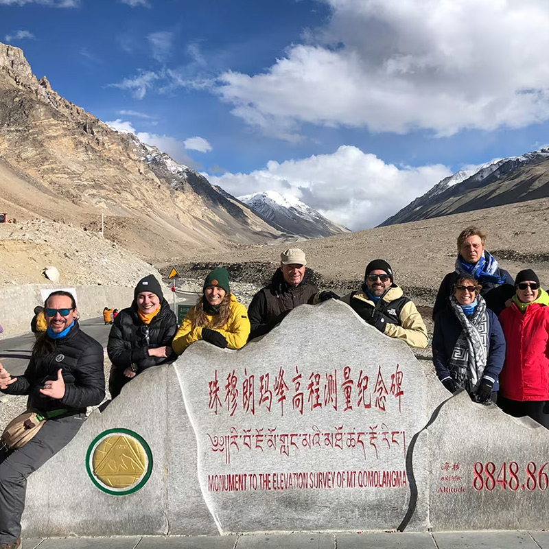
Rongbuk Glacier descends from the northern side of Everest, and the valley around it forms part of the Everest travel corridor. Rongbuk Monastery, at about 4,980 m, looks toward the glacier and Everest beyond it, making the ice part of the classic north-face landscape.
Visitor access in the Everest protected area is restricted above Rongbuk Monastery, so ordinary sightseeing is a viewing experience rather than a glacier walk. The glacier, monastery and Everest form one landscape rather than three separate stops.
Qudengnima Glacier: A Remote Glacier Near the Border
East of the Everest region, in Gangba County, Qudengnima Glacier lies in a remote Himalayan setting with several high-altitude lakes. Unlike Karola, it is approached through a much less established travel area rather than viewed directly from a main tourist road.
Two cautions keep it off most first-trip itineraries. Gangba is a border-area county, so access can involve additional documents and local restrictions, and reaching the glacier area requires a substantial side trip from the main tourist corridor. Foreign travelers should confirm current access rules with a licensed operator before planning around it.
Eastern Tibet: Major Glaciers on the Map
Eastern Tibet is where glaciers meet forest. Glaciers here descend into forested valleys rather than onto open plains, and the Bomi–Ranwu corridor holds the two glacier areas that matter most for travel. The map below shows both against the road network that reaches them.

Midui Glacier: Ice That Comes Down Into the Forest
Midui sits in Bomi County, about 103 km from the county town and a short way off the G318 between Bomi and Ranwu. Its ice front reaches down to about 2,400 m, which official Tibetan sources describe as the lowest glacier snout in China. The low tongue is why the classic Midui landscape can place blue-white ice above dark green forest in a single frame.
A visit is usually planned as a side trip from Bomi, subject to road, trail and local access conditions. A trail leads from the road end toward viewpoints below the glacier, and the drive can then continue toward Ranwu.
Laigu Glacier Group: Glaciers Reached From Ranwu
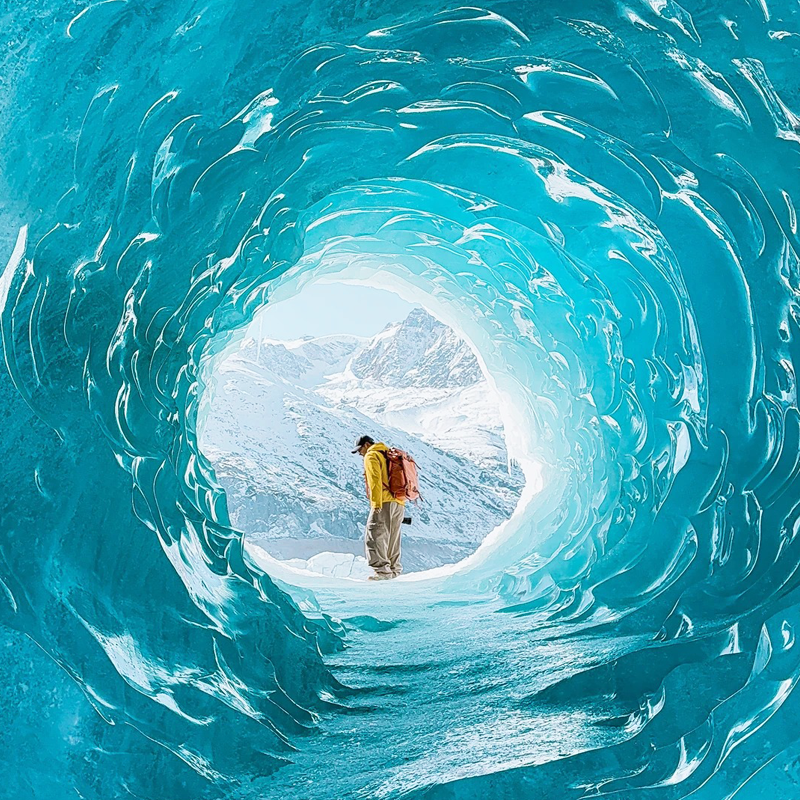
Laigu is a glacier group rather than a single glacier. Several glacier tongues in Baxoi County are closely associated with glacier-fed lakes, creating the landscape for which the area is known. The group is reached from Ranwu on a side route, and winter is especially known for frozen lakes and blue-ice scenery.
Because Laigu requires a side route beyond Ranwu, confirm the current road, access and document requirements for your exact itinerary with your licensed operator. In winter, the Tibet Winter Blue Ice Tour, an 8-day December program, builds its route around this glacier region.
Northern Tibet: Major Glaciers on the Map
Northern Tibet holds some of the plateau’s largest ice fields, but they are not ordinary tourist stops. The map below places the best-known one against the Changtang landscape.

Purog Kangri: The Great Ice Field of the Changtang
Purog Kangri, in Shuanghu County, Nagqu, is an extensive ice field rather than a single narrow tongue. Scientific surveys have put its area at about 400 square kilometers, with ice elevations generally around 6,000–6,800 m. It is one of the major high-altitude ice fields of the Changtang and an important subject of plateau glacier research.
It is not an ordinary tourism stop. Tourism activity at Purog Kangri was suspended as part of stronger ecological protection measures, so the ice field belongs on this map as geography, not as an itinerary item.
Western Tibet: Major Glaciers on the Map
Western Tibet’s glaciers matter upstream. The map below places the Jema Yangzom source region against the wider geography travelers know from the Kailash route.

Jema Yangzom Glacier Area: A Remote Part of the Yarlung Tsangpo Headwaters
Chinese surveys identify the Jema Yangzom glacier area in Zhongba County as the main source of the Yarlung Tsangpo. The river’s upper source geography involves several glacier-fed streams, so it is more accurate to think of Jema Yangzom as a source region than as a single point where the entire river begins.
No regular tourist road or viewpoint serves the glacier itself. Travelers on the western G219 cross the wider source region, while the Mount Kailash map covers the better-known geography farther west. The ice itself remains far from ordinary sightseeing.
Tibet Glaciers by Travel Route
The sections above answer where the glaciers are. This one answers how they combine, because the practical unit of a Tibet trip is the route, not the glacier. The map below shows where established travel corridors meet glacier landscapes.

The Southern Route: Karola on the Way to Everest
The classic first-trip route runs Lhasa → Yamdrok → Karola → Gyantse → Shigatse → Everest, and it already includes a glacier. Karola sits directly on the road between Yamdrok and Gyantse, so it requires no separate day or major detour. The 8-day Lhasa Everest Base Camp tour runs this corridor.
The Everest Route: Rongbuk and the North Face
The classic southern corridor ends as Lhasa → Shigatse → Tingri → Everest → Rongbuk. There, the Rongbuk valley gives travelers a glacier landscape beneath the highest mountain on earth. The monastery viewpoint and the surrounding Everest valley frame the ice, and the glacier remains part of the sightseeing landscape rather than a separate hiking destination. The 8-day Lhasa Everest Namtso tour adds Namtso to the same Everest itinerary.
The Eastern Route: Midui and Laigu on the G318
The eastern line runs Nyingchi → Bomi → Midui → Ranwu → Laigu, stringing the two forest glaciers onto one route: Midui out of Bomi, Laigu on a side route beyond Ranwu. Forest, river, lake and ice come in sequence rather than as completely separate excursions. The Sichuan to Tibet G318 overland tour covers this corridor from Chengdu toward Lhasa.
The Northern Route: The Changtang Edge
There is no regular glacier stop in the north. The 15-day Lhasa EBC Kailash Guge Namtso tour crosses the Changtang edge near Siling Co, where the scale of the northern plateau is visible from the road, but it does not visit Purog Kangri.
The Western Route: Glaciers and the Kailash Region
The western route is about headwater geography. Driving the G219 toward Kailash takes travelers through the wider source landscapes of western Tibet without approaching the major glacier fronts themselves. The 13-day Lhasa EBC Kailash Manasarovar tour runs this line, and western Tibet requires additional route planning and documents beyond the standard permit.
Choosing a Glacier Route by Trip Length
Trip length decides which glacier combinations are realistic. The table below matches days to routes that fit within established travel corridors.
| Trip length | Realistic glacier plan |
|---|---|
| 4–6 days | Karola on a southern Tibet route out of Lhasa |
| 7–8 days | Karola plus Rongbuk on an Everest itinerary |
| 10–12 days | The eastern route with Midui and Laigu |
| 13–15 days | Everest plus the western Kailash region |
| 15+ days | Dedicated western or northern overland routes |
One warning matters more than any row: do not stitch glaciers from opposite directions into one trip just to see more ice. The southern, eastern, northern and western glacier regions follow very different road corridors, so a coherent route usually makes more sense than collecting individual glacier stops.
Tibet Glaciers and the Lakes and Rivers They Feed
Glaciers on this page are not just scenery. They are part of the water system that feeds Tibet’s rivers and lakes, and two of our other map pages continue that story.
Glaciers and Tibet’s Major River Systems
The Jema Yangzom source region contributes to the headwaters of the Yarlung Tsangpo, while glacier-fed tributaries elsewhere on the plateau feed larger river systems. The Tibet river map follows those rivers from their source regions through the valleys used by major travel routes.
Glaciers and High-Altitude Lakes
The Laigu glacier group is closely associated with glacier-fed lakes, while Ranwu forms part of the same glacier-and-lake landscape in eastern Tibet. The Tibet lakes map covers the lakes themselves and shows how they fit into the wider plateau geography.
Tibet Glacier Travel: What to Know Before You Go
Seeing a Glacier vs. Walking on a Glacier
Almost every glacier experience in Tibet is a viewing experience. Karola is roadside, Rongbuk is viewed from the Everest corridor, and Midui and Laigu are approached from trails and viewpoints below the ice. Stepping onto a glacier itself is not part of ordinary sightseeing on the routes described here.
Altitude and Weather
The southern viewpoints are high: Karo La stands at about 5,050 m and the Qudengnima area is around 5,400 m, so these visits come after proper acclimatization along the route. The eastern glaciers sit lower in their valleys, with Midui’s ice front down near 2,400 m, although the surrounding mountains remain high. Our Tibet altitude map puts these elevations beside the towns and routes where travelers sleep.
Road and Local Access
The main corridors are generally straightforward, but the final approach to a glacier may use a side road or trail, and conditions can change. Midui is a side visit from Bomi and Laigu is a side route beyond Ranwu, so allow flexibility rather than planning to a fixed minute-by-minute schedule.
Permits and Border-Area Rules
Foreign travelers need the standard Tibet Travel Permit for travel in Tibet, while some western and border-area routes require additional documents or local approvals. Travelers arriving by train rather than by air can check published services on the China Railway 12306 English site. Requirements depend on the exact destination and route, so confirm the current rules for your itinerary with your licensed operator. Our Tibet travel permit guide explains the baseline rules.
Glacier Conditions Can Change
Ice tongues advance and retreat, and China’s national glacier inventories and long-running observation programs track these changes over time. Treat every map on this page as a travel and orientation tool, checked October 2026, rather than as a survey of the current ice edge. Map boundaries and place-name drawing are checked against China’s official standard maps published by the Ministry of Natural Resources standard map service.
Frequently Asked Questions
Tibet Glacier Map FAQ
What are the major glaciers in Tibet?
For travelers, the four most relevant are Karola, Rongbuk, Midui and Laigu. Geographically, Purog Kangri in the Changtang, the Jema Yangzom source region in western Tibet and Qudengnima near Gangba add important examples.
Which glacier is easiest to see in Tibet?
Karola Glacier is among the easiest. The G349 between Lhasa and Gyantse passes directly below Karo La, and the ice can be viewed from the roadside without a separate glacier hike.
Can I see a glacier on the way to Mount Everest?
Yes. You can see Karola between Yamdrok and Gyantse on the way toward Everest, while the Rongbuk Glacier forms part of the landscape below the Everest north face.
Where are the Midui and Laigu glaciers?
Midui is in Bomi County, Nyingchi, off the G318 between Bomi and Ranwu. Laigu is a glacier group in Baxoi County, Chamdo, reached from Ranwu on a side route.
Can I visit Karola Glacier from Lhasa?
Yes. Southern-route itineraries from Lhasa toward Gyantse and Shigatse pass the Karola viewpoint without requiring a separate glacier excursion.
Can you walk on the glaciers in Tibet?
Ordinary sightseeing does not include walking on the ice. Rongbuk is viewed from the Everest corridor, while Midui and Laigu are approached from trails and viewpoints below the glacier tongues.
Are Tibet glaciers accessible year-round?
Access varies by glacier and route. Karola and Rongbuk are part of established southern and Everest corridors, while the eastern glaciers depend more heavily on road, trail and seasonal conditions. Winter is particularly associated with Laigu’s frozen-lake and blue-ice scenery.
Which Tibet travel routes include glaciers?
The southern Lhasa–Everest corridor includes Karola and Rongbuk, while the eastern G318 corridor includes Midui and Laigu. Northern and western routes cross broader glacier and headwater regions without visiting the major ice fields themselves.
Where do these glacier figures come from?
Glacier names, locations, elevations and access notes come from published regional and scientific sources together with our own site checks in October 2026. Karola, Rongbuk, Midui and Laigu are the four glaciers most relevant to standard itineraries; Purog Kangri, the Jema Yangzom source region in Zhongba County and Qudengnima near Gangba are included as geography rather than as visitor stops. Ice tongues advance and retreat, so treat the maps here as travel and orientation tools rather than surveys of the current ice edge. Access and permit positions reflect our October 2026 check and can change with policy.