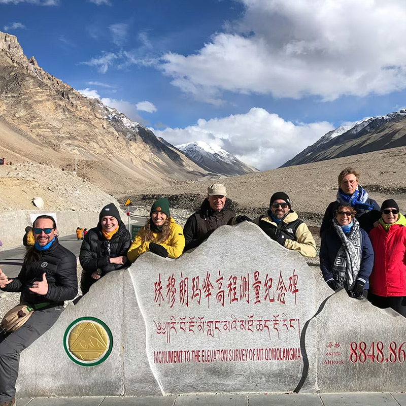
Ngari lies in the far west of Tibet, in southwestern China, on the high plateau north of the Himalayas. Mount Kailash, Lake Manasarovar, Zanda and the regional center of Shiquanhe are all within it. From Lhasa, the road west to the Kailash area covers roughly 1,200 kilometers. Zanda and Shiquanhe lie farther along the journey.
If Kailash or Manasarovar is the reason you are travelling, locating them first helps you judge the rest of the trip. Zanda extends the journey west into a different landscape, while Shiquanhe takes you northwest toward Ngari’s regional center and nearby airport.
Where Is Ngari on the World Map?
In the interior of Asia, the Tibetan Plateau rises north of the Himalayas. Ngari occupies its southwestern part, far inland from the coastal Chinese cities where many international visitors first arrive.
India lies to the south and southwest across the Himalayan borderlands. Western Nepal is another useful reference along the southeastern side of Ngari’s southern borderlands. Kailash and Manasarovar are both in Tibet, China, although journeys to them may begin in a neighboring country.
The mountains help explain the approaches. Places close together on opposite sides of a border can require very different journeys. Starting in Kathmandu or Lhasa can bring you to the same lake, but the entry arrangements and connecting roads differ.
Key Map Facts
| Item | Quick answer |
|---|---|
| Country | China |
| Position within Tibet | Far western Tibet, on the southwestern Tibetan Plateau |
| Main places in this guide | Mount Kailash, Lake Manasarovar, Zanda and Shiquanhe |
| Regional center | Shiquanhe, in Gar County |
| Relationship to Lhasa | West of Lhasa; about 1,200 km by the southern road approach to Darchen |
| Main transport reference | Southern road approach through Saga; Ngari Gunsa Airport near Shiquanhe |
| References reviewed | 24 October 2026; travel-date services need separate confirmation |
Ngari Location Map: Where Does It Sit in China and Tibet?
To find Ngari on a China map, locate the Tibet Autonomous Region in the southwest, then follow it west toward Xinjiang and the Himalayas. Ngari adjoins Nagqu to the east and Shigatse to the southeast, with Xinjiang to the north.
The Ngari administration’s geographical overview describes a region roughly 700 km from east to west and 680 km from north to south. That breadth helps explain the open spaces on a regional map. Even the best-known destinations occupy only part of a much larger area.Ngari geographical overview
On a Tibet map, Lhasa gives you an eastern reference point. Closer to Ngari, Shigatse and Saga mark the southern approach toward Kailash and Manasarovar. The road then continues toward the towns farther west.
Roads through Gerze and Ge’gyai cross the plateau farther north. They connect Ngari with northern Tibet, but taking one changes the course of the journey considerably. For a trip focused on Kailash and Manasarovar, compare it with the southern approach before choosing a route.
Within Ngari, Kailash rises in the Gangdise range and Manasarovar fills a high lake basin. Farther west, the ground around Zanda is deeply eroded. Shiquanhe lies in the upper Indus drainage. Reaching each area involves a substantial road journey, even though they share a regional name.
How Far Is Ngari from Lhasa?
For the southern approach, Lhasa to Darchen is approximately 1,200 km by road. Darchen is the town at the southern foot of Mount Kailash, so it is a useful endpoint when the mountain is your main reason for travelling west.
Zanda and Shiquanhe are farther from Lhasa. The following distances follow the southern approach through Shigatse and Saga, without an Everest detour. A northern plateau route would give different totals.
| Destination from Lhasa | Approximate road distance | What the endpoint means |
|---|---|---|
| Darchen | Around 1,200 km | Arrival at the base town south of Kailash; excludes the walking circuit |
| Zanda town | Around 1,500 km | Continuing west into the Zanda basin; excludes local excursions |
| Shiquanhe | Roughly 1,500–1,600 km | Reaching Ngari’s administrative center farther northwest |
These rounded distances describe the scale of the journey. Published figures vary with road alignment and the exact start and finish; they are not live navigation measurements. Your agreed itinerary should identify the actual roads and overnight stops before travel is booked.Published Darchen distance reference
Meals, checks, sightseeing and altitude all affect how much ground you can comfortably cover in a day. Allow several days for the westward drive, and consider time in Lhasa and the ascent plan separately. Dividing the total distance by a highway speed will underestimate the time needed for the trip.
An Everest visit adds distance to the westbound approach. When comparing proposals, check the stops between Lhasa and Darchen alongside the kilometer total. The extra road may lead to somewhere you want to visit.
Where Are Kailash, Manasarovar, Zanda and Shiquanhe?
Kailash and Manasarovar in southern Ngari
Mount Kailash stands north of Lake Manasarovar. Darchen sits at the mountain’s southern foot, with the lake to its southeast. Their proximity makes it practical to include both in a journey through southern Ngari.
From Darchen, the pilgrimage circuit around Kailash continues on foot. A lake visit involves another transfer to a designated shore area. On a small regional map, the mountain and lake symbols leave little sense of these separate journeys.
At Manasarovar, the shore you visit affects the transfer distance. Once you have located the lake southeast of Darchen, check the specific viewpoint in your itinerary so you know where the vehicle will take you.
Zanda farther west
Zanda lies west of the Kailash area, in the Sutlej basin. The town is a base for the surrounding earth formations and nearby Guge ruins, extending the journey beyond the mountain and lake.
The road follows the terrain into the Zanda basin, taking longer than the straight line on a map suggests. Allow a separate transfer and visit here rather than fitting it around a brief stop at Kailash.
Shiquanhe to the northwest
Shiquanhe lies northwest of Kailash and north of Zanda. It is Ngari’s administrative and service center, situated along the river known as the Sengge Zangbo, the upper Indus.
Shiquanhe is useful for journeys continuing through western and northern Ngari. Gunsa Airport lies southwest of town. If you are travelling overland from Lhasa only to Kailash and Manasarovar, you can reach both before deciding whether to continue this far northwest.
How to Get to Ngari: Road Journey or Flight?
Following the road west from Lhasa
For a southern overland journey, the broad direction is Lhasa → Shigatse → Saga → the Manasarovar and Kailash area. From there, the route can continue toward Zanda or Shiquanhe if those places are part of the arranged trip.
Travelling this way brings you to the southern destinations before you continue deeper into Ngari. Saga is still in Shigatse; Darchen is within Ngari, at the foot of Kailash.
International visitors need an agency-arranged Tibet journey and the required permissions. A fixed-departure group’s agreed program determines which places it visits. Before buying tickets, have the licensed operating agency confirm the destinations and entry arrangements for your trip.
Flying to the western side of the region
Ngari Gunsa Airport, also called Ali Kunsha Airport, serves the Shiquanhe area. It lies southwest of town, roughly 45–50 km away by commonly published road descriptions. Lhasa–Gunsa flights appear in the published 2026 airline network.2026 airline network announcement
Flying saves much of the long approach from Lhasa. From Gunsa, a road transfer continues southeast toward Kailash and Manasarovar, so the flight and onward drive need to be planned together.
Gunsa is above 4,200 m. Flying there gives your body little time to adjust to that elevation, especially when you come from much lower ground. Consider acclimatization before choosing the flight and the next leg of the journey.
Purang Airport lies farther south within Ngari and gives a different starting point for the onward drive. Check which airport a proposal uses, whether the flight operates on your dates and whether it fits your travel arrangements.
An approach from Nepal involves a border crossing and connecting roads through southern Tibet. The crossing available to your trip depends on current entry arrangements, so settle those details before choosing it as your starting country.
Last checked: 24 October 2026. Published geographical and airline references were reviewed. Flight schedules, road restrictions and border access must be reconfirmed for the departure date; this page does not certify any crossing as currently available to your trip.
Conclusion
Kailash and Manasarovar lie in southern Ngari, with Zanda farther west and Shiquanhe to the northwest. The places you hope to reach will shape your approach from Lhasa or the airport. Share your priorities with CHIBET to discuss those connections with a licensed Tibet operating partner.
Frequently Asked Questions
FAQs About Ngari’s Location
Are Ali and Ngari the same place?
Yes. Ali is the Chinese-name rendering commonly used in transport listings, while Ngari is widely used in English-language Tibet guides. Both refer to the same prefecture. An airport listing for Ali still needs the airport name checked, since Gunsa and Purang serve different parts of it.
Is Mount Kailash in Nepal or Tibet?
Mount Kailash is in Ngari, Tibet, China. Nepal can be the starting country for an arranged pilgrimage or tour, which explains its appearance in route titles. The departure country does not change the location of the mountain.
Can I visit Ngari without going to Shiquanhe?
Yes. A road itinerary from Lhasa can reach Manasarovar and Darchen and return without including Shiquanhe. The town is more relevant when the journey continues northwest or includes transport connections in that part of the region. Check the named stops rather than assuming the regional center is always included.